[ad_1]
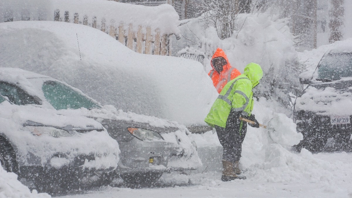
Keep the shovels handy: a powerful blizzard in the Sierra Nevada mountains was expected to wane Sunday, but more heavy snow is on the way.
The National Weather Service said conditions would improve as winds weakened Sunday, but precipitation would quickly return, with heavy snow in some areas and rainfall in others.
“We still have some showers ongoing especially up in the Sierra, and that will kind of continue throughout this afternoon, and then finally taper off overnight tonight,” said Justin Collins, a meteorologist with the National Weather Service in Reno. “That’s kind of the wrap up of the storm, if you will, and we’re going to have a few more waves come through early this week.”
That wasn’t much of a break after a multiday storm that one meteorologist called “as bad as it gets” closed a key east-west freeway in northern California, shut down ski resorts and left thousands of homes and businesses without power.
By Sunday morning, Pacific Gas & Electric had restored power to all but about 7,000 California customers, while NV Energy had reduced its number to roughly 1,000 homes and businesses. And some ski areas were planning to reopen, albeit with delayed start times and limited operations.
“We aren’t outta the woods just yet,” officials at Sierra at Tahoe posted on the resort’s website.
Palisades Tahoe, the largest resort on the north end of Lake Tahoe and site of the 1960 Winter Olympics, closed all chairlifts Saturday because of snow, wind and low visibility. It planned to reopen late Sunday morning after getting an estimated 5 feet (1.5 meters) of snow on the upper mountain as of Saturday night.
“We will be digging out for the foreseeable future,” officials said on the resort’s blog.
Collins, the meteorologist, said some ski areas reported getting nearly 7 feet (2 meters) of snow. More than 10 feet (three meters) of snow was expected at higher elevations, National Weather Service meteorologist William Churchill said Saturday, creating a “life-threatening concern” for residents near Lake Tahoe and blocking travel on the east-west freeway. He called the storm an “extreme blizzard” for the Sierra Nevada but said he didn’t expect records to be broken.
“It’s certainly just about as bad as it gets in terms of the snow totals and the winds,” Churchill said. “It doesn’t get much worse than that.”
The storm began barreling into the region Thursday. A blizzard warning through Sunday morning covered a 300-mile (480-kilometer) stretch of the mountains. A second, weaker storm was forecast to bring an additional 1 to 2 feet of snow in the region between Monday and Wednesday next week, according to the National Weather Service office in Sacramento.
Near Lake Tahoe, the Alibi Ale Works brewpub and restaurant was one of the few businesses open on Saturday. Bartender Thomas Petkanas ssaid about 3 feet (1 meter) of snow had fallen by midday, and patrons were shaking off snow as they arrived.
“It’s snowing pretty hard out there, really windy, and power is out to about half the town,” Petkanas said by telephone.
California authorities on Friday shut down 100 miles (160 kilometers) of I-80, the main route between Reno and Sacramento, because of “spin outs, high winds, and low visibility.” There was no estimate when the freeway would reopen from the California-Nevada border west of Reno to near Emigrant Gap, California.
In Truckee, California, veteran snow-plow driver Kyle Frankland said several parts of his rig broke as he cleared wet snow underneath piles of powder.
“I’ve been in Truckee 44 years. This is a pretty good storm,” Frankland said. “It’s not record-breaking by any means, but it’s a good storm.”
[ad_2]
Source link


